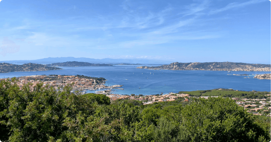
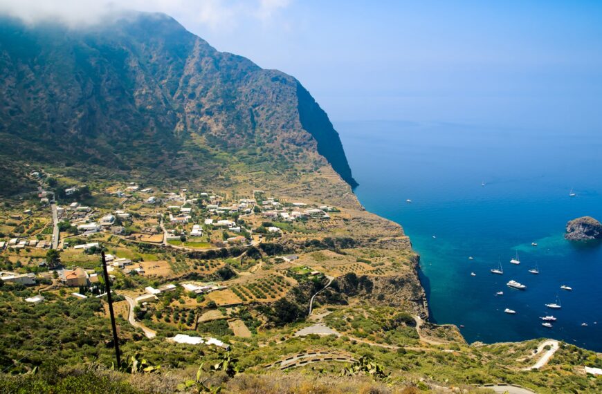
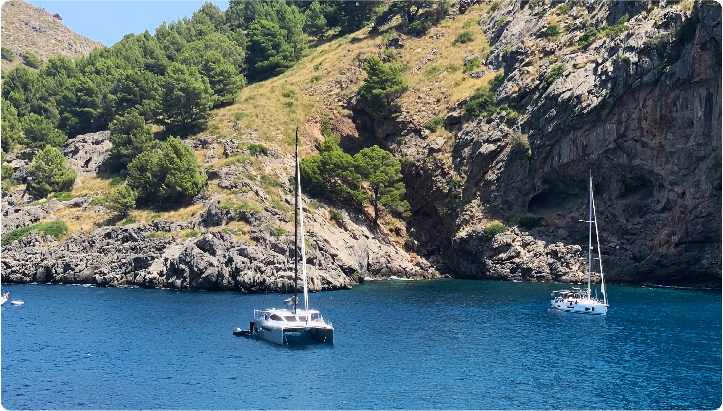
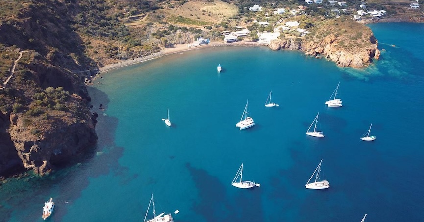
In Sardinia, the La Maddalena Archipelago holds a special place among dream destinations reachable by boat. Composed of a myriad of islands and islets, it takes its name from its largest island, which is also the only one offering hotel accommodations. The rest are sparsely inhabited, if at all, with few to no buildings. While this is ideal for the preservation of the National Park to which they belong, it poses a challenge for those dreaming of vacationing there.
Exploring by Sailboat: A Low-Impact Visit
The best way to enjoy this natural paradise is by boat. However, unless otherwise specified, overnight stays at anchor are generally not allowed to protect the Posidonia Oceanica seagrass meadows and the delicate marine habitat. Visiting the archipelago’s stunning beaches and wild vegetation is still a must, requiring prior consultation with the Park Authority. Information on permitted navigation, anchorage, and mooring zones can be found on their website (www.lamaddalenapark.org). Necessary permits should be obtained before setting out.
Good news for sailors: using a sailboat offers a 40% discount on permit costs. Once you arrive, any bureaucratic effort will feel well worth it.
A Galaxy of Over 60 Islands and Islets
The National Park of the La Maddalena Archipelago spans over 20,000 hectares of land and sea, featuring around 180 kilometers of coastline across more than 60 islands of varying sizes and shapes. From tropical waters to wild vegetation and unique sand and rock formations, every visitor is sure to find a favorite spot.
La Maddalena: The Starting Point
The journey begins with La Maddalena, the archipelago’s namesake and only inhabited island. Facing Palau, it is accessible via ferry in 15–20 minutes. Founded in 1770, the island retains historic buildings and offers a charming town to explore, with colorful houses, small shops, and winding alleys.
The island’s scenic 20-kilometer panoramic road encircles it, leading to breathtaking spots like the Punta Tegge cliffs—perfect for sunsets and swims. La Maddalena is largely covered in Mediterranean scrubland, giving way to pristine white beaches and rocky coves along the coast.
The 16 Trails of Caprera
Caprera, the archipelago’s second-largest island, is reachable by boat or via a 600-meter bridge connecting it to La Maddalena. Located east of its larger neighbor, Caprera is wilder and largely unspoiled. Its only settlement, Stagnali, consists of a handful of homes.
The island is notable for its historical sites, including Giuseppe Garibaldi’s former home (now a museum) and early 20th-century military fortifications. Hikers will love its 16 trails, many leading to secluded coves with crystal-clear waters and sandy beaches ranging from golden hues to dazzling white, like Cala Portese (also known as Due Mari) and Cala Caprarese, one of the island’s wildest spots.
Spargi: Rocks, Scrub, and Sand Dunes
Spargi, the third-largest island, is accessible only by sea. Its lush vegetation, granite rocks, sandy coves, and Mediterranean scrubland offer a pristine experience. While its western coast lacks beaches, the eastern side boasts some of the archipelago’s most beautiful spots: Cala Corsara, with its turquoise waters and granite formations; Cala Granara, featuring shallow waters and sandy dunes; and Cala Ciaccaro (or Cala Soraya), surrounded by flourishing Mediterranean vegetation.
Spargi also features unique rock formations and small streams (called vadine) that flow to the sea. Human presence is limited to 19th- and early 20th-century military fortifications, which now serve as hiking destinations and scenic viewpoints.
The Pink Beach of Budelli
Budelli, Razzoli, and Santa Maria are the three islands closest to the Strait of Bonifacio, surrounding a stretch of water known as I Passi (Mouse Pass and Donkey Pass). Budelli, the sixth-largest island, is famed for its Pink Beach (Spiaggia Rosa), which is off-limits to visitors to protect its delicate ecosystem.
The beach’s vibrant hue is created by bioclasts—organic fragments concentrated by low-energy currents. While swimming, walking, or anchoring in the area is prohibited, visitors can admire its beauty from a designated boardwalk maintained by the Park Authority.
Diving into Razzoli’s Waters
Razzoli features untouched vegetation and rich marine flora, making it a paradise for snorkeling enthusiasts. Its only accessible point, Cala Lunga, is a deep inlet suitable for anchoring during easterly winds. The beach, composed of sand and pebbles, is relatively quiet even in summer and serves as a starting point for exploring Mediterranean scrubland and wind-sculpted granite rocks.
Santa Maria: The Flat Island
Separated from Razzoli by the narrow Donkey Pass (Passo degli Asinelli), Santa Maria is predominantly flat with a long sandy beach. Cala Santa Maria, on the southern coast, boasts soft, fine sand, stunning waters, and gently sloping sandy seabeds.
Once inhabited by Benedictine monks in 1238, the island retains the ruins of a monastery and the small Church of the Assumption, accessible via a well-trodden path.
Santo Stefano and Protected Zones
Finally, Santo Stefano, once a U.S. naval base and now an Italian military site, and the islets of Nibani, Soffi, and Mortorio complete the archipelago. Located near Porto Cervo and Porto Rotondo, these islets are protected zones, embodying the delicate balance of flora and fauna that the Park Authority vigilantly safeguards from human interference.


